
Cookie Run Kingdom’s Chain of Silent Beast Raid (October 2025) Master Rank Guide
Breaking into Master and Master X rank in Cookie Run: Kingdom’s Chain of Silent Beast Raid demands precision, optimal team…
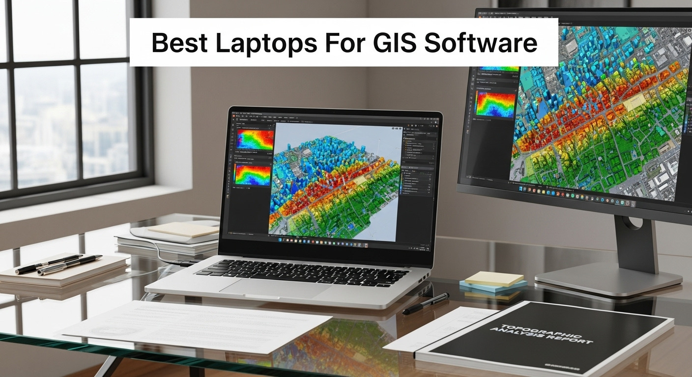
Geographic Information Systems (GIS) professionals need laptops that can handle complex spatial data processing, 3D modeling, and intensive mapping applications. Whether you’re running ArcGIS Pro, QGIS, or specialized remote sensing software, the right laptop makes all the difference between smooth workflows and frustrating bottlenecks.
After analyzing 10 powerful laptops specifically for GIS work in October 2025, we’ve identified the top performers across different budgets and use cases. From mobile field mapping to heavy-duty spatial analysis, these laptops deliver the processing power, graphics performance, and display quality that GIS professionals demand.
| Laptop Model | Key Spec | Best For | Check Price |
|---|---|---|---|
| Dell Precision 7780 | RTX 3500 Ada 12GB | Professional GIS workstations | Amazon |
| ASUS ProArt P16 AI Creator | 4K OLED Display | Spatial visualization | Amazon |
| Alienware m16 R2 | RTX 4070 8GB | GIS gaming hybrid | Amazon |
| ThinkPad X1 Carbon Gen 13 | 2.4 lb Ultra-light | Field mapping | Amazon |
| ThinkPad P16s Gen 3 | RTX 500 Ada 4GB | Mobile workstation | Amazon |
| Lenovo IdeaPad 1i | 24GB RAM | Budget GIS tasks | Amazon |
| HP ZBook Studio 16 G11 | RTX 1000 Ada 6GB | Professional mapping | Amazon |
| MSI Sword 15 | RTX 3060 6GB | GIS student/entry | Amazon |
| Surface Laptop 7 | Snapdragon X Plus | Cloud-based GIS | Amazon |
| HP ZBook Power G11 A | Radeon 780M | AMD workstation | Amazon |
GIS software demands more from laptops than typical business applications. ArcGIS Pro, for instance, can consume significant GPU resources for 3D visualization, while processing large raster datasets requires substantial RAM and fast storage. The key is matching your laptop’s capabilities to your specific GIS workflows.
Graphics performance matters tremendously for GIS work. While integrated graphics can handle basic mapping tasks, dedicated GPUs become essential for 3D terrain modeling, real-time rendering, and processing high-resolution satellite imagery. Look for laptops with at least 4GB of VRAM for serious GIS applications.
RAM is equally critical – GIS datasets can be massive. While 16GB handles most tasks, 32GB or more becomes necessary for complex spatial analysis or working with multiple large datasets simultaneously. Fast SSD storage also impacts performance when loading large shapefiles or raster data.
Display quality shouldn’t be overlooked. Accurate colors help distinguish subtle variations in satellite imagery, while high resolution provides more screen real estate for complex GIS interfaces. Many GIS professionals benefit from 4K displays or dual-monitor setups for enhanced productivity.
Many GIS professionals underestimate their hardware needs, leading to frustrating performance issues. The most common mistake is choosing laptops with insufficient VRAM – 2GB simply isn’t enough for modern GIS applications that rely heavily on GPU acceleration.
Another frequent error is prioritizing CPU cores over single-thread performance. While some GIS processes benefit from multiple cores, many spatial analysis tools still rely on single-thread performance, making Intel’s high-frequency processors particularly valuable.
Don’t overlook thermal management either. GIS processing can push laptops hard for extended periods, and thermal throttling can significantly impact performance. The workstation-class laptops in our recommendations typically handle sustained workloads better than consumer gaming laptops.
The Dell Precision 7780 represents the pinnacle of mobile GIS workstations, designed specifically for professionals who need maximum performance without compromise. At $3,889.77, it’s a significant investment that pays dividends for intensive GIS workflows.
The standout feature is the NVIDIA RTX 3500 Ada with 12GB of VRAM – more than enough for the most demanding 3D GIS visualizations and real-time rendering tasks. Combined with the 24-core Intel Core i9-13950HX processor running up to 5.5 GHz, this laptop handles complex spatial analysis that would bring lesser machines to their knees.
The 64GB of DDR5 CAMM memory ensures you’ll never hit RAM limits when working with massive datasets or running multiple GIS applications simultaneously. The 1TB PCIe Gen4 SSD provides lightning-fast data access, crucial when loading large shapefiles or processing high-resolution satellite imagery.
At 10.56 pounds, this isn’t a laptop for frequent travel, but the 17.3″ FHD display with 500 nits brightness provides excellent visibility even in challenging field conditions. The three-year Dell onsite warranty gives peace of mind for mission-critical GIS work.
For GIS consultants, government agencies, or corporations handling enterprise-level spatial data, the Precision 7780 justifies its premium price through uncompromising performance and professional reliability.
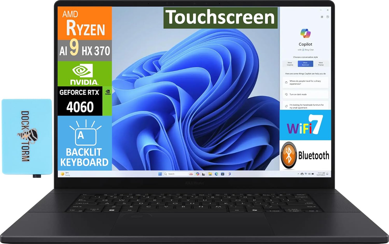
The ASUS ProArt P16 strikes an excellent balance between display quality and performance for GIS professionals who prioritize visual accuracy. Priced at $2,299.99, it offers compelling value for spatial visualization work.
The 16″ 4K OLED touchscreen is this laptop’s crown jewel. With perfect blacks and vibrant colors, it excels at displaying satellite imagery, aerial photography, and complex thematic maps with stunning clarity. The touchscreen functionality adds intuitive interaction with GIS interfaces, particularly useful for field data collection.
The AMD Ryzen AI 9 HX 370 processor with 12 cores up to 5.1 GHz provides robust performance for GIS calculations, while the RTX 4060 with 8GB VRAM handles 3D terrain modeling and GPU-accelerated processing efficiently. The 32GB of LPDDR5X RAM and 2TB PCIe SSD ensure smooth operation with large datasets.
At approximately 4 pounds, it’s significantly more portable than traditional workstations while maintaining serious processing power. The 90Wh battery provides respectable runtime for field work, and Wi-Fi 7 ensures fast data synchronization.
The included Dockztorm USB hub expands connectivity for field equipment, while Copilot+ features add AI-powered productivity tools that complement GIS workflows. For GIS professionals who need excellent display quality without workstation weight, the ProArt P16 delivers impressively.
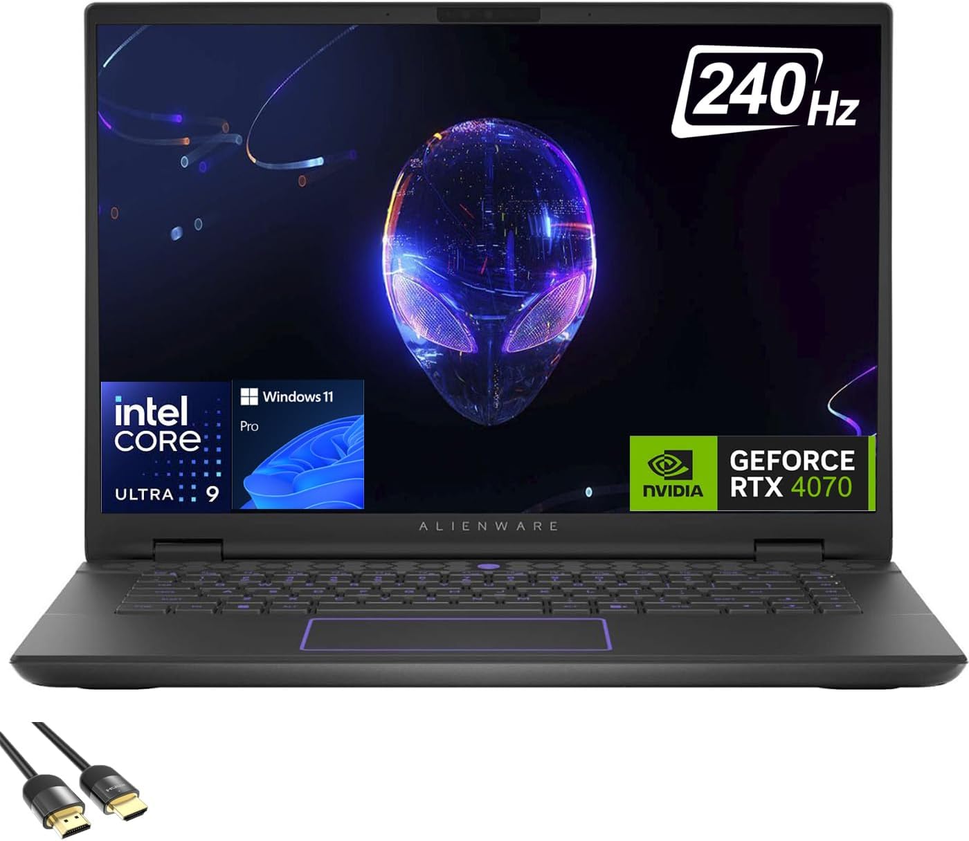
The Alienware m16 R2 might seem like an unusual choice for GIS work, but its powerful specifications make it surprisingly capable for spatial analysis while offering gaming versatility after hours. At $2,499.00, it provides excellent price-to-performance for demanding GIS applications.
The Intel Core Ultra 9-185H with 16 cores up to 5.1 GHz excels at both single-threaded GIS calculations and multi-threaded data processing. The RTX 4070 with 8GB VRAM delivers strong performance for 3D GIS visualization and GPU-accelerated spatial analysis, rivaling more expensive workstation cards for most applications.
The generous 64GB of DDR5 RAM ensures smooth operation with the largest GIS datasets, while the 2TB PCIe 4.0 SSD provides ample storage for spatial data libraries. The 16″ QHD+ display with 240Hz refresh rate offers excellent detail for GIS work, though the high refresh rate primarily benefits gaming.
At 5.75 pounds, it’s reasonably portable for a performance laptop, and the RGB keyboard adds a distinctive touch that sets it apart from typical business machines. Wi-Fi 7 support ensures fast data transfers for cloud-based GIS services.
This laptop makes sense for GIS professionals who want serious performance but also enjoy gaming, or for organizations needing dual-purpose machines. The gaming-focused design might not suit all professional environments, but the underlying performance is genuinely impressive for spatial analysis work.
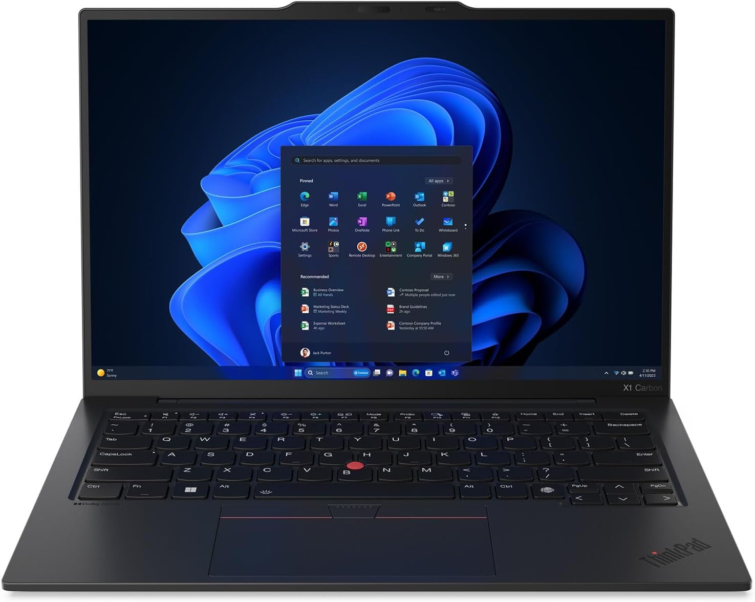
For GIS professionals who prioritize mobility above all else, the ThinkPad X1 Carbon Gen 13 offers remarkable portability without sacrificing essential capabilities. At $1,839.99, it’s designed for field mapping and mobile GIS workflows.
The carbon fiber construction keeps weight to just 2.4 pounds while maintaining durability for field conditions. The 14″ 2.8K OLED display with 120Hz refresh rate provides excellent clarity for map reading and data visualization, even in bright outdoor conditions.
The Intel Core Ultra 7 258V processor handles typical GIS tasks efficiently, while the integrated Intel Arc 140V graphics manage basic mapping and visualization duties. The 32GB of LPDDR5X RAM ensures smooth multitasking with GIS applications, and the 2TB PCIe Gen5 SSD provides fast data access.
Battery life is particularly impressive for field work, easily lasting a full day of mobile mapping. Wi-Fi 7 support enables rapid data synchronization when connectivity is available, while the IR camera and fingerprint reader provide secure authentication for sensitive spatial data.
The ThinkPad keyboard remains excellent for extended data entry, crucial for field data collection. While it lacks dedicated graphics for heavy 3D work, the X1 Carbon excels at mobile GIS tasks, GPS data collection, and field mapping where portability is paramount.
This laptop is perfect for environmental consultants, field researchers, or any GIS professional who needs reliable computing power in remote locations.
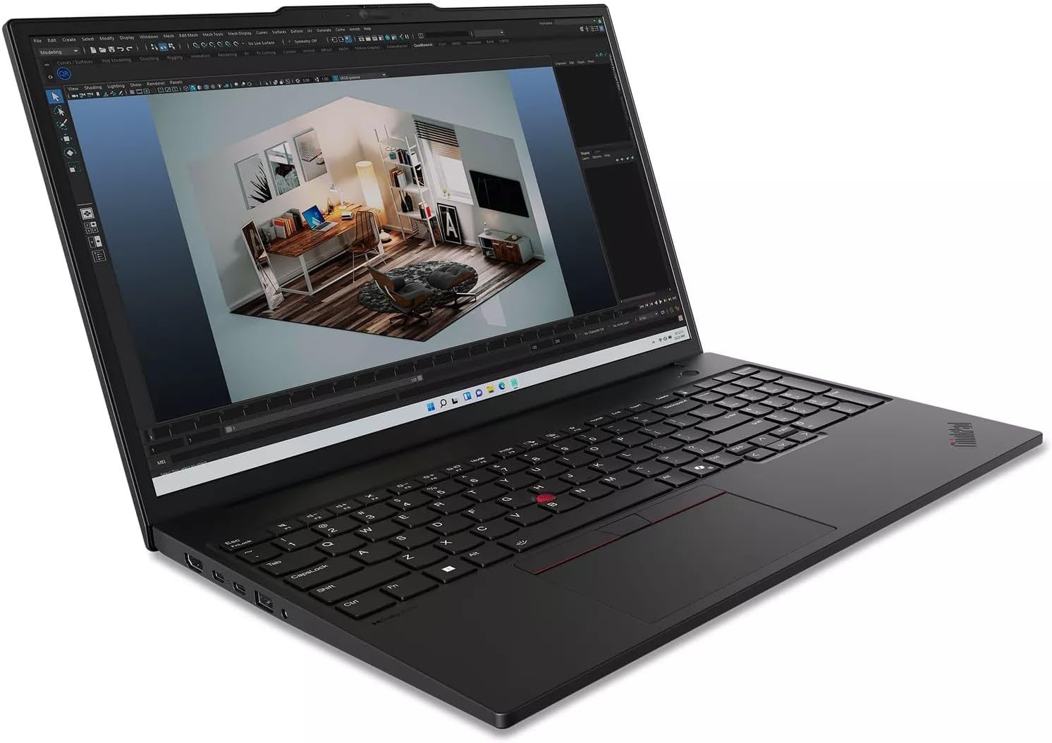
The ThinkPad P16s Gen 3 bridges the gap between ultrabooks and full workstations, offering professional-grade capabilities in a surprisingly portable package. At $1,730.00, it provides excellent value for mobile GIS professionals.
The 16″ WQUXGA (3840×2400) OLED display is spectacular for GIS work, offering pixel-perfect detail for examining high-resolution imagery and spatial data. The 100% DCI-P3 color coverage with Dolby Vision ensures accurate color representation crucial for remote sensing applications.
The NVIDIA RTX 500 Ada with 4GB VRAM provides genuine workstation-class graphics performance for 3D GIS visualization and GPU-accelerated processing. While not as powerful as higher-end RTX cards, it handles most professional GIS workflows smoothly. The Intel Core Ultra 7 155H delivers solid processing power for spatial analysis.
With 32GB of DDR5-5600 RAM and a 1TB PCIe Gen4 SSD, this laptop handles moderately complex GIS datasets without performance issues. At approximately 4 pounds, it remains portable enough for regular travel while offering workstation capabilities.
The ThinkPad build quality ensures reliability in challenging field conditions, while Premier Support eligibility provides professional-grade service options. This laptop works well for GIS consultants, urban planners, or environmental professionals who need workstation performance with ultrabook mobility.
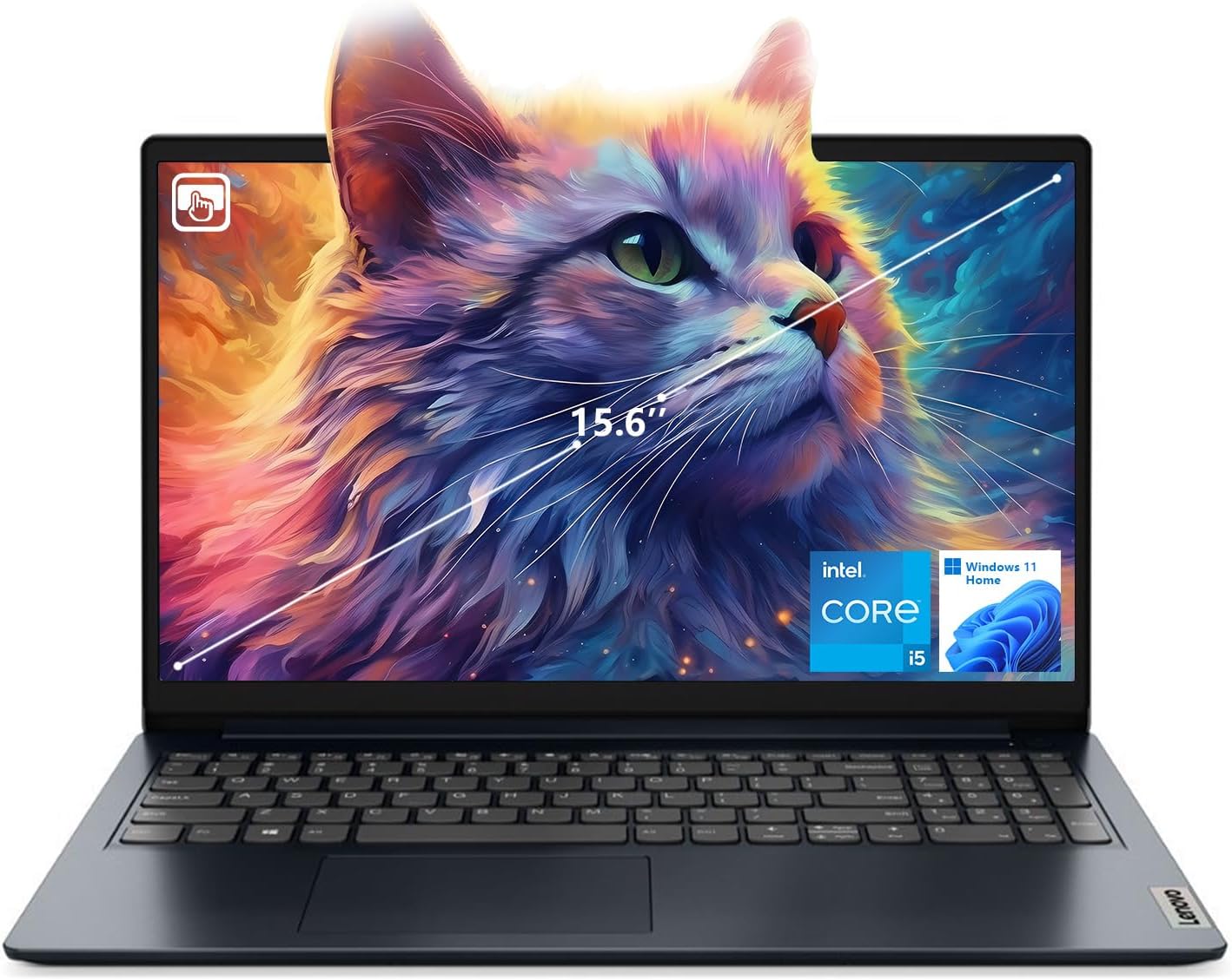
The Lenovo IdeaPad 1i proves that effective GIS work doesn’t require a massive budget. At just $528.00, it offers surprising capability for basic to moderate GIS applications, making it perfect for students or professionals with limited computing needs.
The standout feature is the generous 24GB of DDR4 RAM – more than many laptops costing twice as much. This abundant memory enables smooth operation with multiple GIS applications and moderate-sized datasets. The 1TB NVMe SSD provides ample storage for spatial data and fast loading times.
The Intel Core i5-1235U processor, while not powerful, handles typical GIS tasks like basic mapping, simple spatial analysis, and GPS data processing adequately. The integrated Intel UHD graphics manage 2D GIS applications well, though 3D visualization is limited.
The 15.6″ FHD touchscreen adds intuitive interaction with GIS interfaces, particularly useful for digitizing or field data collection. At 5.28 pounds, it’s heavier than premium ultrabooks but reasonable for the price point.
While USB-C may not support power or video output, the laptop includes standard USB ports for field equipment connectivity. Wi-Fi 6 ensures good performance with cloud-based GIS services.
This laptop works well for GIS students, small consulting firms, or as a secondary machine for field work. It won’t handle complex 3D analysis or massive datasets, but it provides genuine value for basic GIS workflows.
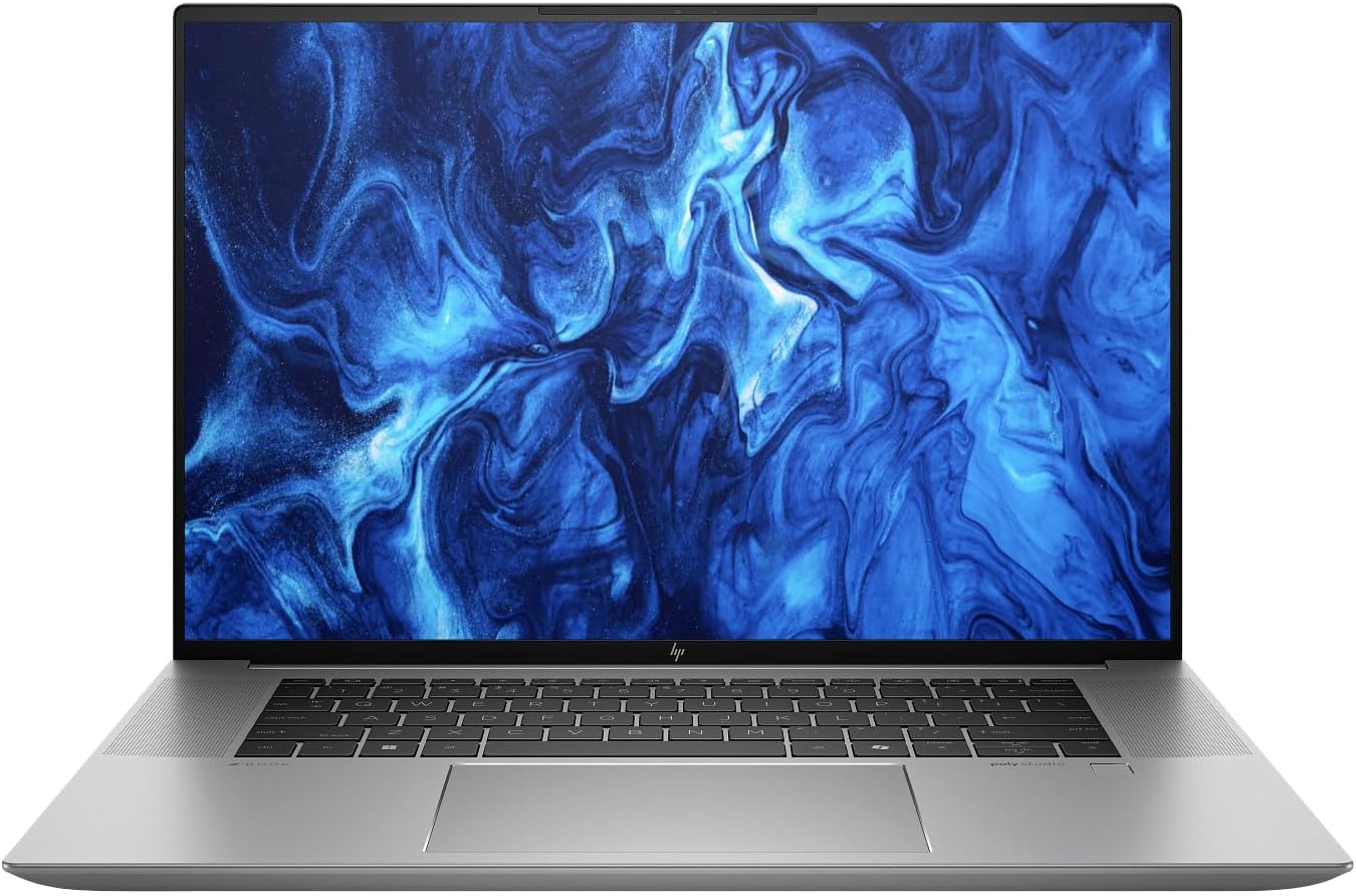
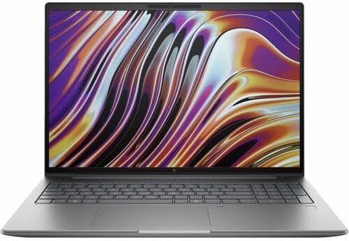
The HP ZBook Studio 16 G11 represents HP’s commitment to professional GIS workflows, combining workstation reliability with modern performance. At $1,674.00, it offers professional-grade features at a competitive price.
The Intel Ultra 7 165H vPro processor provides business-class security and management features alongside solid performance for GIS applications. The NVIDIA RTX 1000 Ada with 6GB VRAM delivers certified professional graphics performance for CAD and GIS applications, with optimized drivers for stability.
The dual graphics setup with Intel Arc integrated graphics alongside the dedicated RTX card provides excellent power efficiency – the system automatically switches between graphics solutions based on workload demands. This extends battery life during basic tasks while providing full performance when needed.
With 32GB of DDR5-5600 RAM and a 1TB SSD, the laptop handles professional GIS workflows smoothly. The 16″ display with 2560×1600 resolution and 400 nits brightness provides excellent detail for spatial data visualization.
At just 0.72″ thick, this is one of the thinner workstation laptops available, making it more portable than traditional mobile workstations. The professional design fits well in business environments, while the workstation-grade components ensure reliability for mission-critical GIS work.
This laptop suits GIS professionals in corporate environments, government agencies, or consulting firms that require certified professional graphics and business-class features.
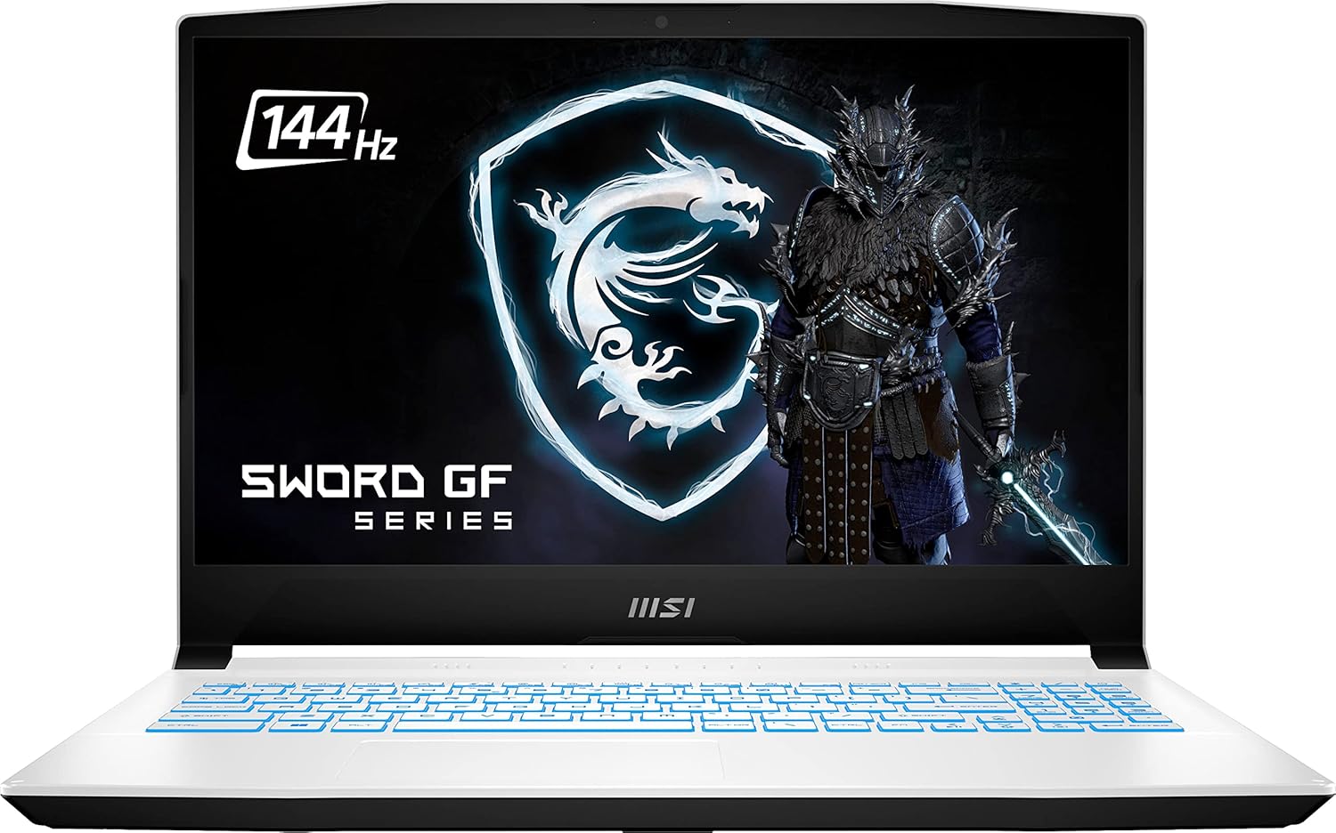
The MSI Sword 15 offers an attractive entry point for students or professionals beginning their GIS journey. At $1,399.99, it provides solid gaming performance that translates well to GIS applications requiring GPU acceleration.
The Intel Core i7-12650H with 10 cores delivers respectable performance for GIS processing, while the RTX 3060 with 6GB VRAM handles 3D GIS visualization and GPU-accelerated analysis effectively. This graphics performance rivals more expensive workstation cards for many GIS applications.
The 16GB of DDR4 RAM handles moderate GIS workflows, though users working with large datasets might eventually want to upgrade. The 1TB NVMe SSD provides good storage capacity and performance for spatial data. The 15.6″ FHD display with 144Hz refresh rate offers smooth visuals, though the high refresh rate primarily benefits gaming.
At 4.96 pounds, it’s reasonably portable for a gaming laptop. The blue backlit keyboard adds style while providing good typing experience for data entry. Wi-Fi 6 support ensures good connectivity for cloud-based GIS services.
While the gaming aesthetic might not suit all professional environments, the underlying performance is genuinely useful for GIS work. This laptop makes sense for GIS students, entry-level professionals, or anyone needing dual gaming/GIS capability on a budget.
The RTX 3060 provides excellent price-to-performance for GIS applications, making this an attractive option for budget-conscious users who still need dedicated graphics capability.
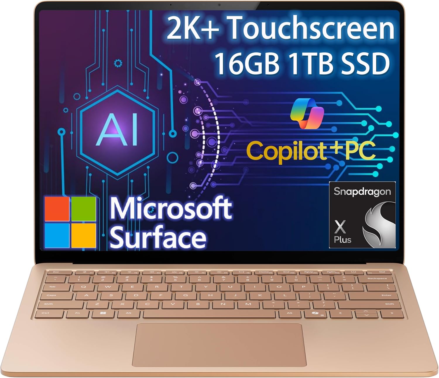
The Surface Laptop 7 represents Microsoft’s vision for AI-powered mobile computing, offering unique capabilities for cloud-based GIS workflows. At $1,249.99, it provides distinctive features that complement modern GIS practices.
The Snapdragon X Plus processor with 45+ TOPS NPU delivers impressive AI performance alongside good general computing capability. While not as powerful as Intel or AMD processors for traditional GIS processing, it excels at AI-enhanced tasks and offers exceptional battery life.
The 13.8″ 2K+ touchscreen with 120Hz refresh rate and 600 nits brightness provides excellent visibility for field work and intuitive interaction with GIS interfaces. The high brightness is particularly valuable for outdoor mapping applications.
Copilot+ features like Recall, Studio Effects, and Live Captions add AI-powered productivity tools that enhance GIS workflows. The NPU enables advanced features like real-time language translation for international field work or AI-powered image analysis for remote sensing applications.
At just 2.96 pounds with exceptional battery life, this laptop excels at mobile GIS tasks, field data collection, and cloud-based GIS applications. The ARM processor ensures compatibility with cloud-based GIS services while providing all-day battery life.
This laptop suits GIS professionals who primarily use cloud-based tools like ArcGIS Online, work extensively in the field, or want cutting-edge AI capabilities integrated into their workflows.
The HP ZBook Power G11 A demonstrates that AMD processors can deliver excellent GIS performance while offering competitive value. At $1,859.85, it provides workstation features with AMD’s efficient architecture.
The AMD Ryzen 7 8845HS processor delivers excellent single and multi-threaded performance for GIS applications, often matching or exceeding Intel counterparts while providing better power efficiency. The integrated Radeon 780M graphics handle basic to moderate GIS visualization tasks effectively.
The 32GB of DDR5-5600 RAM in dual-channel configuration ensures smooth operation with complex GIS datasets, while the 1TB NVMe SSD provides fast data access. The 16″ WUXGA (1920×1200) IPS display offers good detail and color accuracy for spatial data visualization.
The 5MP IR camera provides high-quality video conferencing for remote GIS collaboration, while dual Thunderbolt 4 ports enable connection to high-resolution external monitors and storage devices. The fingerprint reader adds secure authentication for sensitive spatial data.
At 6.45 pounds, it’s heavier than ultrabooks but reasonable for a workstation-class laptop. The AMD architecture typically provides better battery life than comparable Intel systems, valuable for field work.
This laptop suits GIS professionals who prefer AMD processors, need workstation reliability, or want good performance without dedicated graphics. The integrated graphics limit 3D capabilities but handle most 2D GIS tasks well.
Best Under $600: Lenovo IdeaPad 1i For basic GIS tasks and students, the IdeaPad 1i offers surprising capability with 24GB RAM at just $528. Perfect for learning GIS fundamentals and light mapping work.
Best $1,000-$1,500: MSI Sword 15 The RTX 3060 provides solid GPU acceleration for 3D GIS work at $1,099, making it excellent value for entry-level professionals or students needing dedicated graphics.
Best $1,500-$2,000: ThinkPad P16s Gen 3 Professional workstation features with RTX 500 Ada graphics and stunning OLED display at $1,735 – ideal for mobile GIS professionals.
Best $2,000-$3,000: ASUS ProArt P16 The 4K OLED display and RTX 4060 make this perfect for spatial visualization work at $2,279, offering excellent balance of performance and portability.
Best Premium: Dell Precision 7780 At $3,889, this delivers uncompromising performance with RTX 3500 Ada and 64GB RAM for the most demanding professional GIS workflows.
| Model | CPU | GPU | RAM | Storage | Weight | Price |
|---|---|---|---|---|---|---|
| Dell Precision 7780 | i9-13950HX | RTX 3500 Ada 12GB | 64GB DDR5 | 1TB PCIe Gen4 | 10.56 lb | $3,889.77 |
| ASUS ProArt P16 | Ryzen AI 9 HX 370 | RTX 4060 8GB | 32GB LPDDR5X | 2TB PCIe | ~4 lb | $2,279.00 |
| Alienware m16 R2 | Ultra 9-185H | RTX 4070 8GB | 64GB DDR5 | 2TB PCIe 4.0 | 5.75 lb | $2,499.00 |
| ThinkPad X1 Carbon | Ultra 7 258V | Intel Arc 140V | 32GB LPDDR5X | 2TB PCIe Gen5 | 2.4 lb | $1,845.99 |
| ThinkPad P16s | Ultra 7 155H | RTX 500 Ada 4GB | 32GB DDR5 | 1TB PCIe Gen4 | ~4 lb | $1,735.00 |
| Lenovo IdeaPad 1i | i5-1235U | Intel UHD | 24GB DDR4 | 1TB NVMe | 5.28 lb | $528.00 |
| HP ZBook Studio 16 | Ultra 7 165H | RTX 1000 Ada 6GB | 32GB DDR5 | 1TB SSD | – | $1,674.00 |
| MSI Sword 15 | i7-12650H | RTX 3060 6GB | 16GB DDR4 | 1TB NVMe | 4.96 lb | $1,099.99 |
| Surface Laptop 7 | Snapdragon X Plus | Adreno GPU | 16GB LPDDR5X | 1TB SSD | 2.96 lb | $1,249.99 |
| HP ZBook Power G11 A | Ryzen 7 8845HS | Radeon 780M | 32GB DDR5 | 1TB NVMe | 6.45 lb | $1,858.21 |
For basic GIS tasks, integrated graphics can work, but dedicated graphics with at least 4GB VRAM are recommended for 3D visualization and GPU-accelerated processing in ArcGIS Pro or similar professional software.
While 16GB handles basic to moderate GIS work, 32GB is increasingly important for complex spatial analysis, large dataset processing, or running multiple GIS applications simultaneously.
Both perform well for GIS tasks. Intel often has slight advantages in single-threaded performance important for some GIS calculations, while AMD typically offers better multi-core value and power efficiency.
Workstation laptops offer certified drivers, professional support, and enhanced reliability. While gaming laptops can provide similar performance, workstations are recommended for mission-critical professional GIS work.
Color accuracy is crucial for remote sensing work, high resolution provides more detail for spatial data, and adequate brightness enables outdoor fieldwork. 4K displays offer significant advantages for complex GIS interfaces.
Yes, gaming laptops often provide excellent GIS performance due to powerful GPUs and processors. The main considerations are professional appearance requirements and long-term reliability for business use.
GIS datasets vary enormously in size. 1TB is typically adequate for most users, but professionals working with high-resolution imagery or LiDAR data may need 2TB or more, plus external storage.
Touchscreens enhance field data collection and provide intuitive interaction with GIS interfaces. They’re particularly valuable for digitizing features, field mapping, and tablet-mode operation.
Accurate colors help distinguish subtle variations in satellite imagery, geological maps, and vegetation analysis. Professional GIS work benefits from displays covering wide color gamuts like sRGB or DCI-P3.
ARM processors excel at AI tasks and battery life but may have compatibility issues with some traditional GIS software. They work well for cloud-based GIS applications and mobile fieldwork.
Professional GIS work often justifies extended warranties with on-site service, especially for field-deployed laptops. Three-year coverage with accidental damage protection provides good peace of mind.
Not all GIS work requires dedicated graphics. Basic mapping, database queries, and simple analysis work fine with integrated graphics, but 3D visualization and GPU-accelerated processing need dedicated cards.
After evaluating these 10 laptops for GIS applications in October 2025, here are my top recommendations for different use cases:
Best Overall GIS Laptop: Dell Precision 7780 The RTX 3500 Ada and 64GB of RAM make this the ultimate choice for professional GIS workstations. At $3,889.77, it’s expensive but delivers uncompromising performance for the most demanding spatial analysis tasks.
Best Value: ThinkPad P16s Gen 3 For mobile GIS professionals, this laptop provides workstation graphics, stunning OLED display, and excellent build quality at $1,735. The RTX 500 Ada handles professional visualization while maintaining portability.
Best for Field Work: ThinkPad X1 Carbon Gen 13 At just 2.4 pounds with excellent battery life, this ultrabook excels at mobile mapping and field data collection. The 2.8K OLED display provides excellent outdoor visibility at $1,845.99.
Best Budget Option: Lenovo IdeaPad 1i With 24GB of RAM at $528, this laptop offers surprising capability for GIS students and basic professional tasks. It’s perfect for learning GIS fundamentals without breaking the budget.
Whether you’re processing satellite imagery in the field or running complex spatial analysis in the office, these laptops provide the performance, reliability, and features that GIS professionals need in 2025. Choose based on your specific workflows, mobility requirements, and budget constraints.